Detect more species in
less time with eDNA
Every living thing leaves traces of its DNA in the environment. The NatureMetrics lab reads those traces to identify the species present, an unrivalled picture of a site's biodiversity from a single sample.
The largest dedicated commercial eDNA lab in the world
Take a tour of our purpose-built facilities in Guildford UK, built around one problem: DNA traces are faint and easy to contaminate. The lab a sample passes through matters as much as the science behind it.
eDNA sampling at a glance

eDNA from water
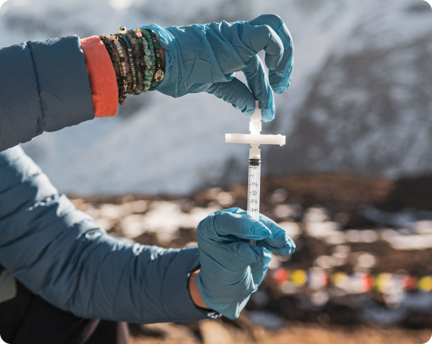
Ideal for freshwater and marine environments. A single water sample can detect hundreds of aquatic and semi-aquatic species, from fish and amphibians to mammals that drink from or swim in a body of water.
→ Detects rare & cryptic aquatic species
→ Monitors changes over time
→ Tracks invasive species early
→ Suitable for rivers, lakes, estuaries and oceans
eDNA from soil
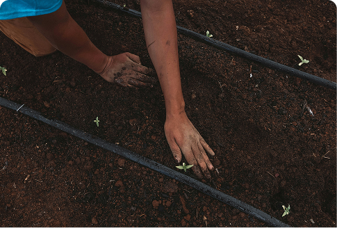
eDNA extracted from soil reveals underground biodiversity, including fungi, invertebrates, and bacteria to provide a complete picture of ecosystem health
→ Characterises soil microbiome and fungi
→ Tracked land-use change impacts
→ Essential for terrestrial baseline surveys
eDNA from air
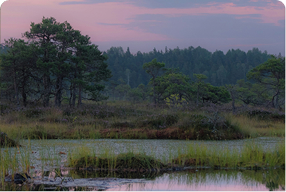
Airborne eDNA, shed from pollen, spores, insect scales and animal dander, can be captured using an air pump or by swabbing a surface, enabling passive, continuous monitoring of terrestrial wildlife communities.
→ Passive, low-footprint deployment
→ Continuous temporal monitoring capability
→ Suitable for ecosystems without water or soil
Higher data return vs
sampling effort
eDNA sampling replaces slow, specialist-heavy fieldwork with a faster, richer alternative. Meaning less time in the field, and richer data that picks up rare, cryptic, and hard-to-observe species traditional methods routinely miss.
Easier and safer than conventional monitoring
Conventional biodiversity surveys — electrofishing, visual ID — demand specialist licences and carry real ecological and human risk. eDNA replaces all that with a simple kit: filter water, swab a surface, minutes and done. No specialist training, no disturbance, no observer-skill variability across sites or years.